


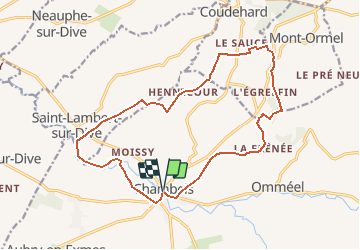

43 km | 53 km-effort

Gebruiker


Gratisgps-wandelapplicatie
 SityTrail
IGN / Geografische instituten
SityTrail World
De wereld gaat voor u open
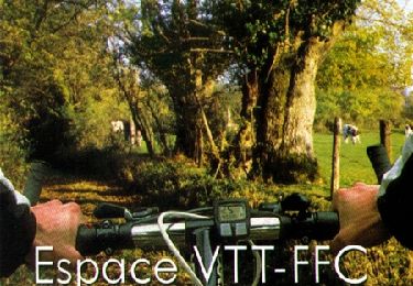
Tocht Mountainbike van 16,1 km beschikbaar op Normandië, Orne, Gouffern en Auge. Deze tocht wordt voorgesteld door tracegps.
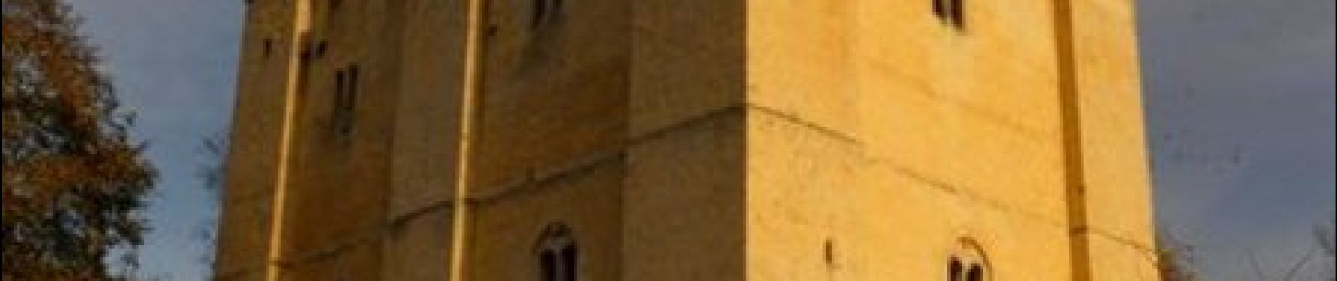
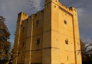
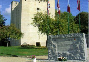
Août 1944 – Chambois. Circuit VTT, praticable à pied et à cheval. Départ du donjon de Chambois. Retrouvez les Coup de Cœur Randonnée dans l’Orne en Normandie.


Mountainbike
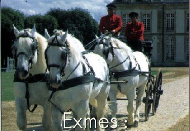
Paard

Paard
Stappen

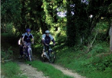
Mountainbike
Mountainbike
Mountainbike
Mountainbike
Mountainbike